How GIS technology helps keep RSPO members accountable
RSPO appointed GIS manager in 2017
In the last few years, RSPO has taken great strides in strengthening its commitment to transparency and accountability. A key achievement came in November 2013, at the 10th General Assembly, with the passing of Resolution 6G. This implemented the requirement for RSPO members to submit all concession maps, whether certified or not. In addition, RSPO appointed a geographical information system (GIS) manager in 2017, who helped with the launch of the innovative GeoRSPO platform.
We caught up with RSPO’s GIS manager, Masrudy Omri (aka Rudy), to find out more about his role, and how the GIS team is progressing.
What are some of the tasks you are working on?
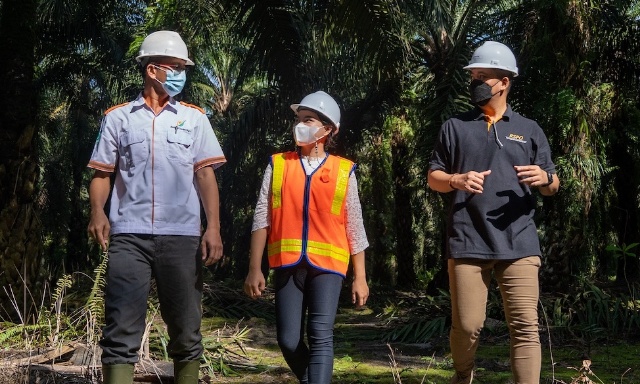
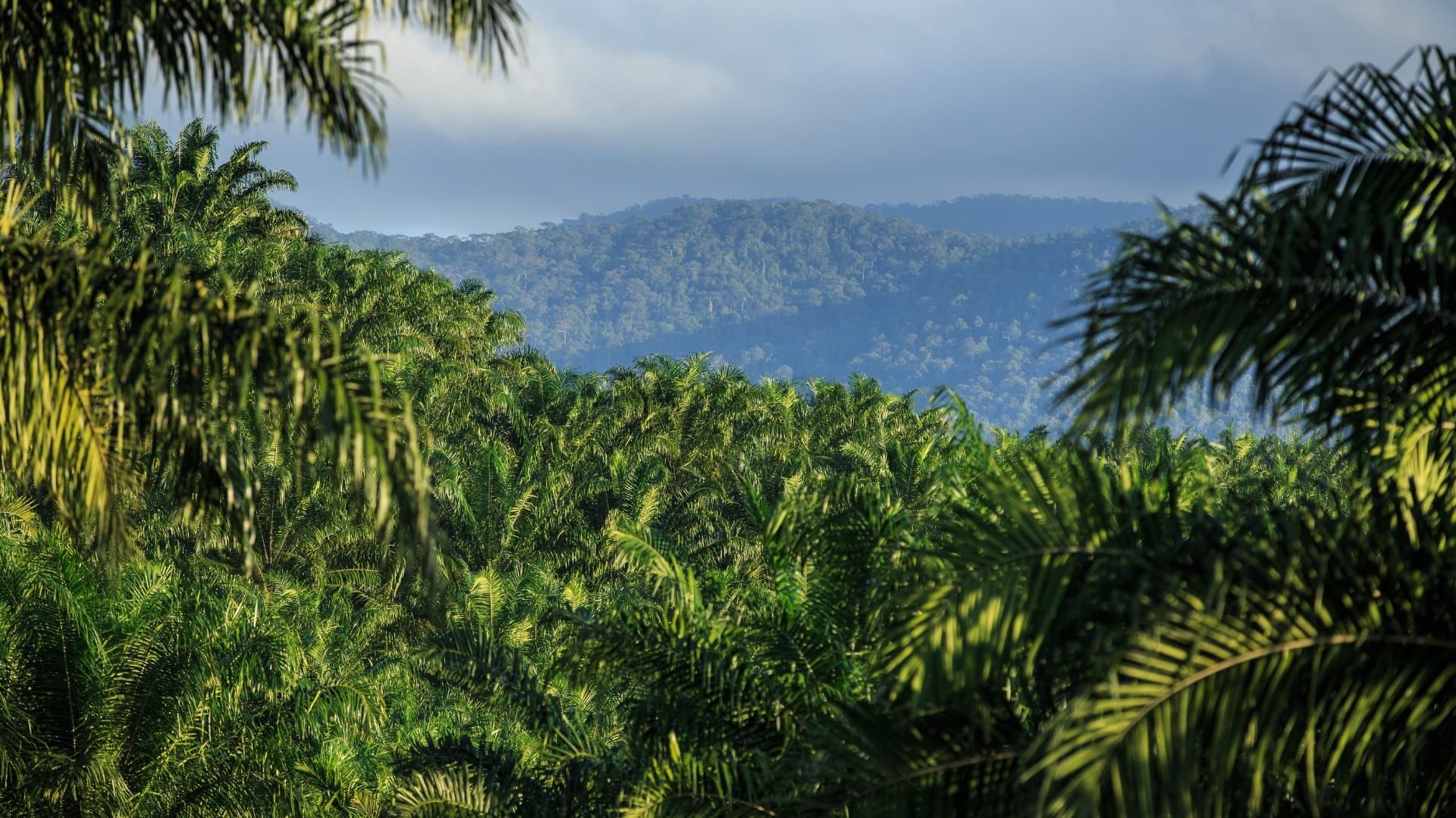
One of the key tasks at the moment is ensuring that grower members are submitting the concession boundary data correctly through this year’s Annual Communications of Progress (ACOP). RSPO members who have plantation operations are requested to submit concession boundaries, and this data must be submitted according to RSPO’s formatting requirements. The provision of accurate maps is a prerequisite for monitoring environmental accountabilities, and to thus ensure identification of issues like land clearing and forest fires. It is really important that the accurate geographical locations are known.
Thanks to our internal GIS capability, it is now possible to effectively utilise satellite images and other auxiliary geospatial information. Using these data sets, we have facilitated preliminary assessments on any potential environmental non-compliance by RSPO members, especially those related to complaints.
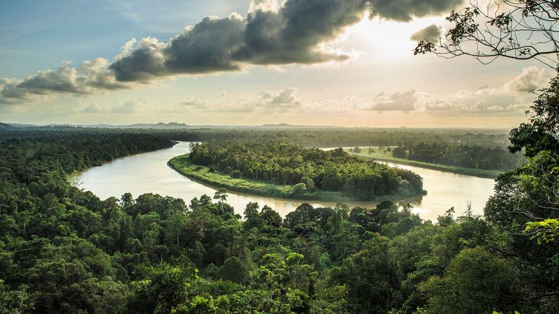
Technology can help in monitoring HCV and NPP areas
How do you monitor fire hotspots?
Hotspots are approximations of ground fires. When a hotspot occurs at a grower member’s concession, our team will get in touch with the respective grower member and encourage them to conduct a field verification. Any fire occurrences within concessions have to be reported back to the RSPO Secretariat, along with any actions taken.
What is RSPO’s plan to monitor High Conservation Value (HCV) and New Planting Procedure (NPP) areas?
Solutions are still needed to determine whether HCVs are being managed and monitored effectively. One of the ways to achieve this is to come up with a clear framework that allows for monitoring HCV areas within NPP areas, using geospatial technologies and remote sensing. Our upcoming plans include monitoring these areas using Global Forest Watch (GFW) Pro platform, which is currently being developed by the World Resource Institute (WRI).
Are there any updates or announcements you can share with us at this time?
At this moment, the GIS team is anticipating a new set of concession maps to be submitted by growers through ACOP 2017. I will also be helping institutionalise the framework and processes for investigation and monitoring activities, as part of our objective to strengthen the credibility of RSPO certification, verification and grievance systems.
For more information on the latest news and updates on GIS, be sure to register for the RSPO Egazette newsletter and check out GeoRSPO on our website.
Keep reading
RSPO accepted in the Netherlands as a private control system for EUDR
RSPO x JaSPON Conference and Member Engagement Forum 2025 Spotlights Japan’s Sustainability Success and Market Growth
Call for Expression of Interest: Independent Investigation of a Complaint
Call for Expression of Interest: Mexico National Interpretation Task Force for 2024 RSPO Principles and Criteria (RSPO P&C) and Independent Smallholder (ISH) Standard
RSPO–APKASINDO Partnership to Boost Inclusive Growth, Certification, and Market Access for Oil Palm Smallholders